
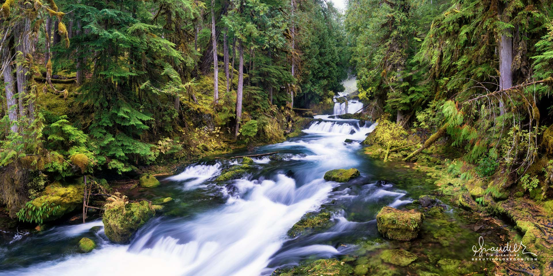
McKenzie River Central Oregon Cascades
$ 57.60
& Livraison gratuite plus de 60€Coursing through a towering forest of Red Cedar and Douglas-fir, the McKenzie River tumbles past a series of rapids and chutes in this spectacular section of river between Sahalie and Koosah Falls. Willamette National Forest. Linn County, Oregon Cascades. The McKenzie River is a striking example of the intricate hydrology characteristic of Oregon’s western Cascade Range. Originating on the flanks of the Cascade Crest, the river drains roughly 1,300 square miles before merging with the Willamette River near Eugene. Its flow regime is defined by a mix of snowmelt, rainfall, and significant groundwater inputs, resulting in a river that is remarkably clear, cold, and consistent in discharge. This combination has made it not only a critical ecological corridor but also a vital water source for municipal and agricultural use in the southern Willamette Valley. The headwaters of the McKenzie River begin high on the slopes of the Three Sisters volcanic complex. Snow accumulation during the winter months is deep, often exceeding 200 inches, and forms a seasonal reservoir that steadily melts from late spring into summer. This snowmelt provides a sustained base flow that is critical for maintaining cool temperatures and high water quality throughout the dry season. However, snowmelt alone does not define the McKenzie. The river’s most distinctive hydrological trait is the substantial contribution of spring-fed groundwater, sourced from volcanic aquifers created by Holocene and Pleistocene lava flows. Above Clear Lake, water disappears into a network of lava tubes and porous basaltic flows, percolating through subterranean channels before re-emerging miles downstream. Some of the most well-known springs, such as Great Spring and the multiple outlets feeding the upper McKenzie below Clear Lake, have residence times that may range from several years to decades. This deep groundwater component emerges at a near-constant temperature of around 39–43°F, contributing to the river’s cold and stable thermal regime. In fact, the McKenzie is considered one of the coldest rivers in the Pacific Northwest, a fact of great ecological importance for native fish such as Chinook salmon and bull trout. Because of these springs, the McKenzie River shows relatively low flow variability compared to rainfall-dominated systems. While it is certainly subject to seasonal high flows from Pacific frontal storms, particularly in the lower basin, the river rarely experiences the flash flooding seen in more steeply incised or urbanized drainages. The flow at Vida, one of the principal USGS gauging stations, averages around 4,700 cubic feet per second (cfs), though it can swing from winter highs above 20,000 cfs to late summer lows near 1,000 cfs. Nevertheless, the consistent spring input smooths these extremes, offering a reliable water source even during drought years. The McKenzie also plays a key role in regional water supply. Eugene and Springfield source their municipal drinking water directly from the river, valued not only for its quantity but for its exceptional clarity and low turbidity. The Eugene Water & Electric Board (EWEB) has invested heavily in watershed protection to maintain this high quality. Additionally, the McKenzie supports extensive irrigation networks, particularly in its lower reaches where the flatter topography of the Willamette Valley allows for agricultural expansion. Hydrologically, the McKenzie River serves as a transition zone between two distinct environmental provinces: the high Cascades and the western foothills. The upper basin is dominated by young volcanic rocks with high permeability, resulting in the spring-fed hydrology described above. In contrast, the lower basin cuts through older, less permeable terrain with steeper gradients and more surface runoff. This transition is visible in the river’s flow regime, channel morphology, and sediment load, with clearer, more stable channels upstream and more dynamic flows and sediment movement downstream. The McKenzie’s hydrology reflects the broader geological and climatic forces shaping the Oregon Cascades. With a balance of snowmelt, groundwater, and rainfall, it sustains not only the ecosystems of the Cascade foothills but also the communities of the southern Willamette Valley, making it one of the most vital and scientifically fascinating rivers in the Pacific Northwest. Linn County, McKenzie River, Oregon Cascades, Sahalie Falls, Willamette National Forest
Produits similaires
-
CAMERA PTZ CANON CR-N700 NOIRE $ 99.61
-
Camera Canon ME20F-SHN $ 90.46