
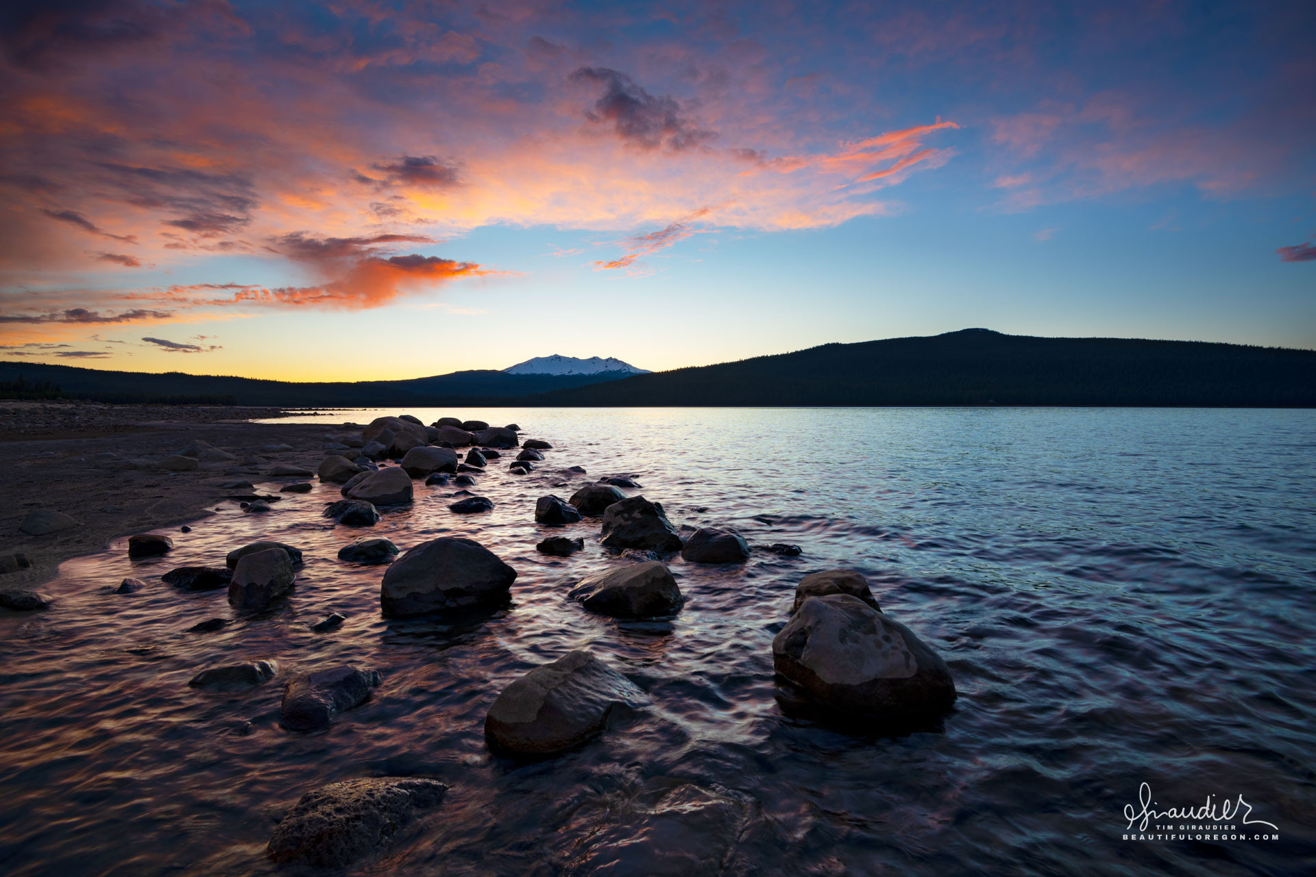
Crescent Lake and Diamond Peak
$ 49.50
& Livraison gratuite plus de 60€Crescent Lake, located in Klamath County, Oregon, is a high-elevation natural lake situated within the eastern slope of the central Cascade Range. Resting at approximately 4,847 feet (1,478 meters) above sea level, the lake occupies a glacially carved basin on the eastern edge of the Cascade crest, within the Deschutes National Forest. Its hydrology is primarily influenced by the interplay of glacial geomorphology, regional precipitation patterns, groundwater flow, and anthropogenic modifications, particularly water management infrastructure that links Crescent Lake to broader irrigation systems. Crescent Lake lies in a basin formed through a combination of volcanic and glacial processes. The lake basin is bounded by Pleistocene volcanic ridges and overlain by younger lava flows, pyroclastic deposits, and glacial till. During the Pleistocene glaciations, alpine glaciers carved U-shaped valleys and overdeepened basins into the volcanic bedrock, creating the depression that now holds Crescent Lake. The hydrologic conductivity of the region is strongly influenced by the underlying volcanic substrate, composed largely of andesitic and basaltic flows that may be variably permeable due to fracturing and vesiculation. Interbedded pyroclastics and glacial till act as aquitards in places, while more porous tephra layers contribute to localized aquifers. The primary sources of inflow to Crescent Lake are snowmelt, direct precipitation, ephemeral tributary streams, and groundwater discharge. The lake’s watershed, encompassing approximately 84 square miles, is dominated by snow accumulation during winter months, with peak melt occurring from April through June. Numerous small creeks drain the surrounding ridges and slopes, particularly to the north and west, where subalpine forests and pumice-rich soils slow runoff and promote infiltration. Groundwater exchange is an important, though not fully quantified, component of the lake’s hydrologic budget. The Cascade Range is typified by high groundwater recharge rates due to permeable volcanic substrates, and Crescent Lake likely receives subsurface inflows from upslope aquifers recharged by snowmelt. Conversely, depending on lake stage and groundwater levels, Crescent Lake may also lose water to adjacent groundwater systems. Historically a closed-basin lake, Crescent Lake was modified in the early 20th century for water storage and distribution purposes. The Crescent Lake Dam, an earthen embankment structure constructed by the U.S. Bureau of Reclamation in 1922 and later improved, impounds the lake and regulates its outflow. This transformation created a reservoir system that significantly altered the natural hydrologic dynamics of the lake. Controlled releases from Crescent Lake flow eastward via Crescent Creek, which ultimately contributes to the Deschutes River system. This outflow is regulated seasonally to serve downstream irrigation demands, particularly within the North Unit Irrigation District in the Deschutes Basin. The capacity of the reservoir was expanded by raising the lake’s water level, thereby increasing surface area and evaporative losses, while also introducing fluctuations in shoreline inundation patterns. The dam and associated outflow structures effectively decouple lake levels from purely natural hydrologic inputs, tying them instead to managed seasonal drawdowns and refilling cycles. During late spring and early summer, outflows are increased to meet irrigation demands, drawing down lake levels. Refill occurs primarily from spring snowmelt, although persistent drought conditions or reduced snowpack can limit recovery in some years. Crescent Lake covers an area of roughly 4,000 surface acres at full pool and reaches a maximum depth of approximately 265 feet (81 meters), classifying it as a deep, oligotrophic water body. Its volume, estimated at over 570,000 acre-feet when at capacity, gives it significant storage potential relative to other Cascade lakes. Water residence time is variable and depends on annual climatic conditions and reservoir management strategies. The lake exhibits a dimictic thermal profile, undergoing mixing during spring and fall turnovers and stratifying during summer months. This stratification influences internal nutrient cycling and affects dissolved oxygen dynamics in the hypolimnion, particularly under prolonged stratification during warm years. Evaporation constitutes a non-negligible component of water loss, particularly during the summer months when solar radiation is high and wind-driven surface exchange is active. Estimated annual evaporation from Crescent Lake ranges from 20 to 30 inches, depending on temperature, wind speed, and surface area. The hydrology of Crescent Lake is tightly coupled to the regional climate regime of the eastern Cascades, which is characterized by a pronounced precipitation gradient. Most precipitation falls between November and April, predominantly as snow at this elevation. Interannual variability in snowpack accumulation and timing of melt has a direct impact on inflow volumes and the timing of peak lake levels. Recent decades have seen increased concern over climate-induced hydrologic shifts in the Cascades, including earlier snowmelt onset, reduced snowpack, and altered runoff timing. These changes threaten to destabilize the historic water balance of Crescent Lake, affecting both natural ecosystem dynamics and managed water supply functions. Cascade Lakes Highway, Crescent Lake, Deschutes National Forest, Diamond Peak, Klamath County